About the site
CATEGORY OF PROTECTION: Significant Landscape
YEAR OF PROTECTION: 1968
SURFACE AREA: 3 358,73 ha
POSITION: Skradin, Bilice, Šibenik, Vodice – from the Skradin (on the road Šibenik – Skradin) to the Šibenik bridge
Pursuant to the Nature Protection Act, the Krka River, from the old Skradin bridge (on the Šibenik–Skradin road) to the Šibenik bridge, with a riparian belt 300 metres wide, was declared a natural landscape reserve on 20 September 1968. With the establishment of Krka National Park in 1985, this area became a part of the park. Amendments to the borders of Krka National Park in 1997 placed the area outside the park, but it remained protected as a significant landscape. Within the protected area are the town of Skradin, Prokljan Lake, the mouth of the Guduča River and the Channel of St. Joseph.
The town of Skradin is situated on the right bank of the Krka River. Its origins are in a prehistoric hillfort around which a town emerged in the 1st century BC. During the Roman Empire, because of the port, road communications and its position on the frontier with the belligerent Delmati, Skradin (Roman Scardona) became one of the most important settlements in the province of Dalmatia, a fact attested to by numerous archaeological finds (the remains of Roman architecture and aqueducts, stone monuments, sarcophagi, glass balsamarium, jewellery and the like). In the early Christian period, in the year 530, Skradin was made the seat of a diocese. It was destroyed in the 7th century by Slavs and Avars, and restored by Croats. Skradin saw further development at the turn of the 13th and 14th centuries during the rise of the Šubić dukes of Bribir. During its tempestuous history, Skradin was ruled by the Venetian Republic, taken in 1522 by the Turks, who ruled it almost to the end of the 17th century, followed by the Austrians, interrupted by a short French occupation… Skradin is now a protected monument town with a noteworthy old town core.
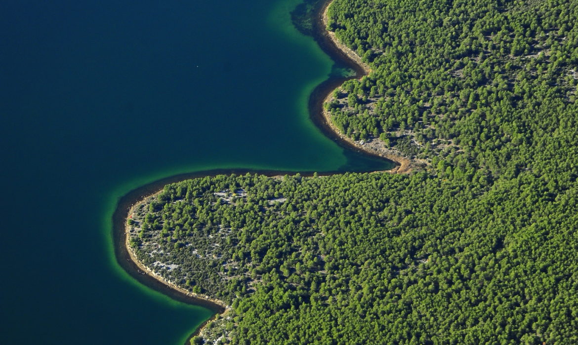
Four kilometres downstream from Skradin is Prokljan Lake (Prukljan). In the landscape, Prukljan appears to be a lake, surrounded on all sides by land, but it is by its physical, chemical and biological attributes a part of the sea. Prukljan as we know it today was shaped during the Holocene (8,500 years ago) when sea levels rose by 90-95 metres. Prukljan is 6.7 km in length, 2.8 km across, while a shoreline of 28.8 kilometres and a total surface area of about 11.5 km2. Its shores are low and relatively straight except in the south-western section, where it continues through the Prukljan Straits (Channel of St. Joseph). Its greatest depth has been charted just ahead of the entrance to the Prukljan Straits at 22 m. There are several settlements on the shores of Prukljan — the village of Raslina to the west, Prokljan to the north, and the Bilice hamlets (Šparadi, Mikulandre, Stubalj, Burići and Vrulje) to the south and south-east. The torrential tributary Guduča flows into Prukljan from its north-western side. The lower stretches and the mouth of the Guduča form an area of characteristic marshland vegetation, with rich and diverse flora and fauna and an exceptional landscape and ambient. A kilometre to the east of the mouth of the Guduča and to the south of the settlement of Prokljan is the island of Stipanac (also known as Sustipan or Sveti Stjepan), the only island in Prukljan. There are numerous traces of ancient habitation on the shores of Prukljan. The most prominent are stone fragments from the Middle Palaeolithic, fragments from the Early Neolithic, Roman villae rusticae, the remains of a Roman aqueduct and the ruins of an Early Christian basilica. On the island of Stipanac are the remains of the Romanesque Church of St. Stephen. The small Church of St. Michael (Mihovil), first mentioned in the 15th century, stands in the settlement of Raslina.
A total of 45 shellfish species are found in Prukljan Lake.
The list of flora of the Prukljan area contains 406 native plant species. Among these are several Illyrian/Adriatic endemics.
Tradanj cave is situated in St. Joseph’s Channel, on the right bank of the Krka River. The cave has three entrances and a total length of 42 m. Fragments of Neolithic age ceramics, a flint knife and char and bone fragments have been discovered within the cave. Bats are present year round, with up to 20,000 individuals forming nursing colonies for mothers and young every year.
Downstream, just opposite the southern entrance to St. Joseph’s Channel is a pit on the northern slopes of the Orljak hill, 20 m above the Krka River. This is a branching speleological structure whose bottom reaches the Krka river level and sea level, with a total length of 90 m and depth of 23 m. At the bottom of the pit is a brackish lake (anhihaline pit).